Category: Counter-UAS & Airspace Security

Detection and mitigation technologies for unauthorized drones and other low-altitude airspace threats — a fast-growing area of security technology.

  • DHS Awards Department-Wide Contracts for Counter-Drone Capabilities

    DHS Awards Department-Wide Contracts for Counter-Drone Capabilities

    A Common Acquisition Pathway Across DHS

    The Department of Homeland Security announced on August 5, 2026 that it has made multiple contract awards to support department-wide access to Counter-Unmanned Aircraft Systems (C-UAS) capabilities. The awards give DHS components a common pathway to acquire C-UAS hardware, software and services tailored to fixed-site, mobile, aviation, maritime, aircraft-based and special-mission environments, according to the department’s Science and Technology Directorate.

    “These awards mark an important step in strengthening DHS’s ability to respond to unauthorized and malicious unmanned aircraft systems,” said Homeland Security Secretary Markwayne Mullin. “By taking a Department-wide approach, we are improving mission readiness, supporting more consistent capabilities, and helping ensure DHS personnel have access to the right tools for the job.”

    Replacing Fragmented Procurement

    DHS components have historically procured C-UAS capabilities through separate acquisition efforts. The new contract structure is intended to support greater consistency, interoperability, operational flexibility, technology refresh and lifecycle management across the department, while still letting individual components select solutions aligned to their specific missions. The awarded contracts cover detection, tracking, classification, identification, mitigation, command-and-control integration, training, maintenance, technical support, system integration, research and development, test and evaluation, and vendor-operated turnkey services.

    “As unmanned aircraft systems become more capable and more widely available, DHS needs solutions that can adapt,” said Under Secretary for Science and Technology Pedro Allende. Components expected to use the contract include the U.S. Secret Service, U.S. Coast Guard, Customs and Border Protection, Immigration and Customs Enforcement, the Transportation Security Administration, FEMA, the Federal Protective Service, U.S. Citizenship and Immigration Services, and the Science and Technology Directorate itself. DHS did not disclose specific contract values or awardee names in its announcement.

    Sources

  • Civilian Drones Have Grounded Wildfire Aircraft Dozens of Times in 2026, Officials Say

    Civilian Drones Have Grounded Wildfire Aircraft Dozens of Times in 2026, Officials Say

    67 Reported Incursions So Far This Year

    The U.S. Forest Service says there have been 67 unauthorized drone incursions into wildfire airspace so far in 2026, a pattern officials say repeatedly forces firefighting aircraft out of the sky. In an August 2026 public safety post, the Forest Service and the National Interagency Fire Center said temporary flight restrictions are put in place over active wildfires specifically to protect aerial firefighting crews flying air tankers and helicopters, and that every incursion by an unauthorized drone forces those aircraft to stand down until the airspace is confirmed clear. Thirty-nine of the 67 reported incursions this year occurred in Washington state, according to the agencies. Individuals caught flying drones into these restricted zones can face significant fines and potential prison time.

    Spokane Complex Fires: A Concrete Example of the Risk

    The scale of the disruption was illustrated during the Spokane Complex wildfires in Washington in early August 2026. According to FireRescue1, citing a Spokane County Sheriff’s Office news conference, 26 drone incursions were reported on August 2, four of which flew directly into the path of firefighting aircraft. The following evening, aircraft were grounded for roughly 30 minutes after another unauthorized drone entered the restricted airspace, the outlet reported, citing The Seattle Times; the operator in that case was not located. Spokane County Sheriff John Nowels said his office had identified multiple drone operators from the earlier incidents and referred citations to the Federal Aviation Administration, noting each operator could face penalties up to $100,000.

    Washington Department of Natural Resources spokesperson Ryan Rodruck told FireRescue1 that grounding aircraft even briefly has real operational costs: “We’re utilizing all units at our disposal right now, but we can’t do that effectively if the airspace isn’t clear.” He said the temporary flight restriction over the Spokane fires protected airspace up to 5,000 feet, and that wildland firefighting aircraft often operate at altitudes similar to many civilian drones, raising collision risk for pilots and ground crews alike. Thirty-five aircraft, including assets from DNR and the National Guard, were assigned to the Spokane fires on August 3. “Vital seconds, minutes, are lost” with every grounding, Rodruck said.

    Legal Exposure and Public Messaging

    Interfering with firefighting operations on public lands is a federal crime that can carry up to a year in prison, and flying a drone inside a wildfire-related temporary flight restriction can also trigger a civil penalty of $20,000 or more, according to FireRescue1’s reporting. The Forest Service has run a public-awareness campaign, “If You Fly, We Can’t,” aimed at recreational drone operators, warning that even a very small drone can damage a helicopter’s tail rotor or disable an aircraft engine. Both agencies encourage anyone who spots a drone inside restricted wildfire airspace to call 911 or report it directly to the FAA.

    Sources

  • Third Drone and Suspected Explosives Found in Widening Leipzig Airport Sabotage Probe

    Third Drone and Suspected Explosives Found in Widening Leipzig Airport Sabotage Probe

    German investigators have found a third drone and a substance suspected to be military-grade explosive near Leipzig/Halle Airport, widening the investigation into an attempted attack earlier this month, German broadcasters NDR and WDR and the newspaper Sueddeutsche Zeitung reported on August 25, 2026.

    What was found

    According to the reports, the drone was recovered on August 14, ten days after the original incident, in an area west of the airport. Investigators also found roughly 50 grams (1.8 ounces) of a substance they suspect is hexogen, a military explosive, along with drone-control equipment reportedly taped to a tree in Kursdorf near the airport and a suspected blast site nearby.

    The original incident

    The case began on August 4, 2026, when an airport employee found a drone carrying an explosive device with a faulty detonator near a Ukrainian Antonov cargo aircraft in the airport’s secure cargo operations area. The discovery forced a temporary shutdown of the airport’s southern runway. German Interior Minister Alexander Dobrindt described the incident as representing a “new quality of danger” and a hybrid-style attack.

    Why it matters for aviation security

    Leipzig/Halle is a major European cargo hub used by Ukrainian Antonov aircraft, NATO and German military logistics, and DHL. The fact that an armed drone reached a secure airside cargo area — and that investigators are still recovering additional devices and evidence weeks later — underscores the difficulty of defending sensitive perimeter and airside zones against small, low-cost unmanned aircraft. Chancellor Friedrich Merz has said the government intends to formally attribute the attack; German security sources have pointed to possible Russian intelligence involvement, which Moscow denies.

    Sources

    More coverage like this is available on Technology News.

  • Acoustic Drone Detection: Where It Works and Where It Fails

    Acoustic Drone Detection: Where It Works and Where It Fails

    Acoustic drone detection uses microphones or microphone arrays to listen for characteristic sound signatures produced by propellers and electric motors. Unlike radar or active radio systems, acoustic sensors are passive. They do not transmit energy and can sometimes detect drones that are flying autonomously without an obvious RF control link.

    The technology is attractive because it can be compact, relatively easy to deploy and useful as a supplementary sensor. Algorithms compare incoming audio with trained signature libraries and may estimate direction of arrival when multiple microphones are used together.

    Its main limitation is range. Sound attenuates quickly, especially in wind, rain or complex terrain. Urban areas, highways, factories, airports and ports generate substantial background noise that can mask drone signatures or create false detections. The same drone may also sound different depending on payload, propeller type, speed and distance.

    Acoustic detection therefore works best in quieter environments or as part of a multi-sensor architecture. A radar track can be strengthened by an acoustic confirmation, while an acoustic cue can direct a camera toward a suspected target. It is generally less suitable as the sole primary detector for large critical sites.

    System evaluation should focus on measured performance in the actual environment rather than laboratory range claims. Buyers should test wind conditions, machinery noise, vehicle traffic and different drone types. They should also examine how the acoustic layer integrates with radar, RF and video systems.

    Acoustic sensing has a legitimate role in drone awareness, but its strength comes from complementing other technologies. Used correctly, it adds another independent source of evidence; used alone, it can be vulnerable to environmental conditions that are difficult to control.

  • Critical Infrastructure Airspace Monitoring

    Critical Infrastructure Airspace Monitoring

    Critical infrastructure security traditionally focused on fences, gates, cameras and ground-based intrusion detection. Drones have added a new dimension: the low-altitude airspace above a facility can now be used for observation, inspection, accidental overflight or unauthorized activity. Power plants, refineries, substations, ports, data centers and water facilities increasingly treat airspace awareness as part of physical security.

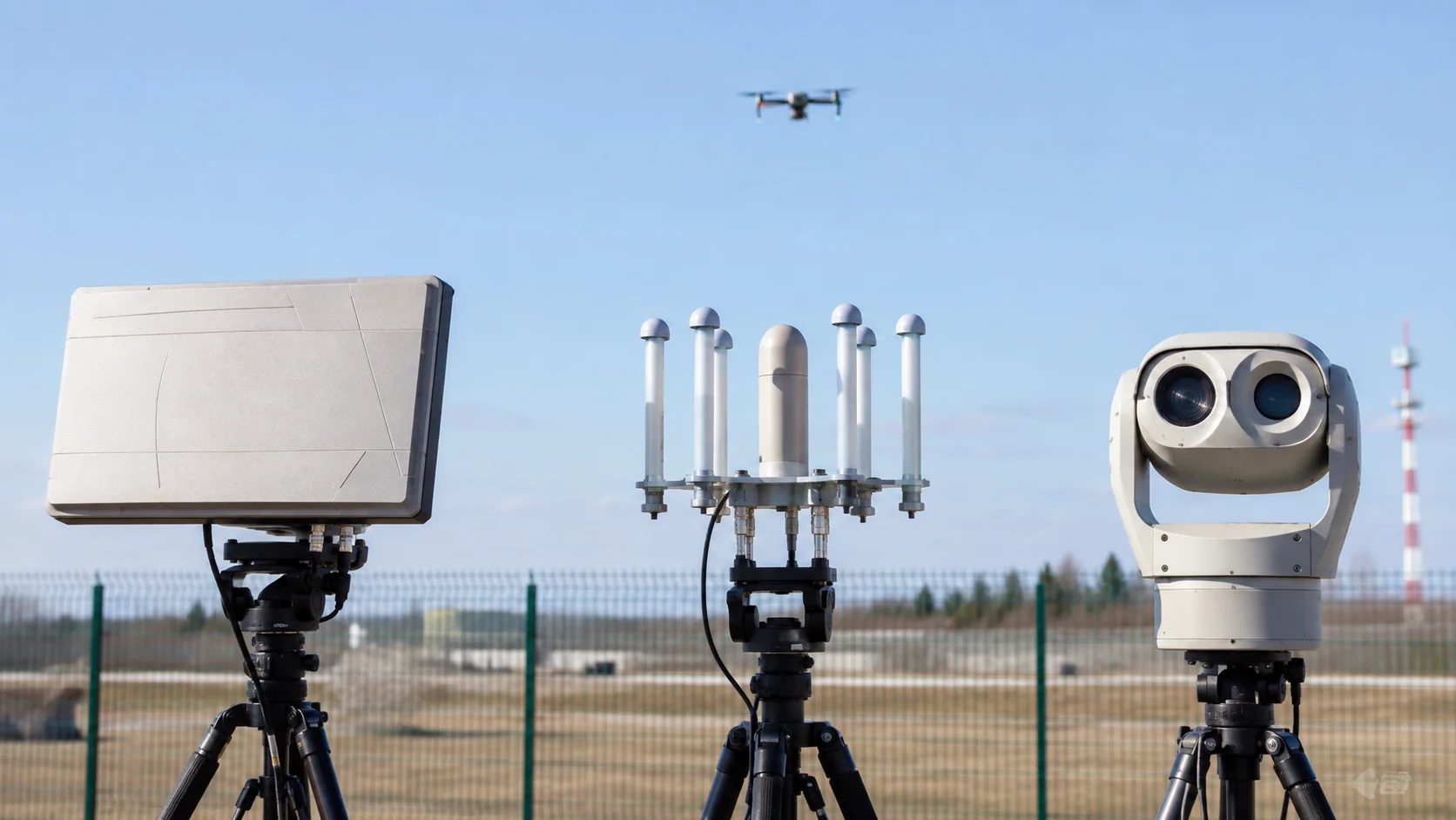
    A typical architecture combines radar, RF sensing, optical or thermal cameras and a command platform. Radar supplies range, direction and track history. RF monitoring can provide protocol-level clues when a drone is actively communicating. Cameras verify the target and create evidence. Sensor fusion then combines these data points into a single operational track.

    Risk is highly site-specific. A drone above a large solar farm presents a different concern from one approaching a high-voltage substation, LNG terminal or nuclear facility. Security teams should therefore define protected zones, alert thresholds and escalation rules around critical assets rather than using one uniform alarm policy.

    Integration with existing systems is essential. When an airspace event is detected, nearby perimeter cameras can be cued automatically, incident-management software can create a case and operators can correlate the drone’s route with ground activity. This is especially valuable when the airspace event is part of a broader security incident.

    Environmental design is also important. Industrial facilities contain steel structures, pipes, cranes, electromagnetic noise and moving machinery. These conditions affect radar, RF and camera performance. Site surveys and real-world testing should therefore be part of procurement.

    The most useful outcome is not a separate drone console, but a unified picture that shows what is happening on the ground and in the air. As critical infrastructure becomes more instrumented, low-altitude airspace monitoring is likely to become another standard layer of integrated physical security.

  • Airport Drone Detection Systems

    Airport Drone Detection Systems

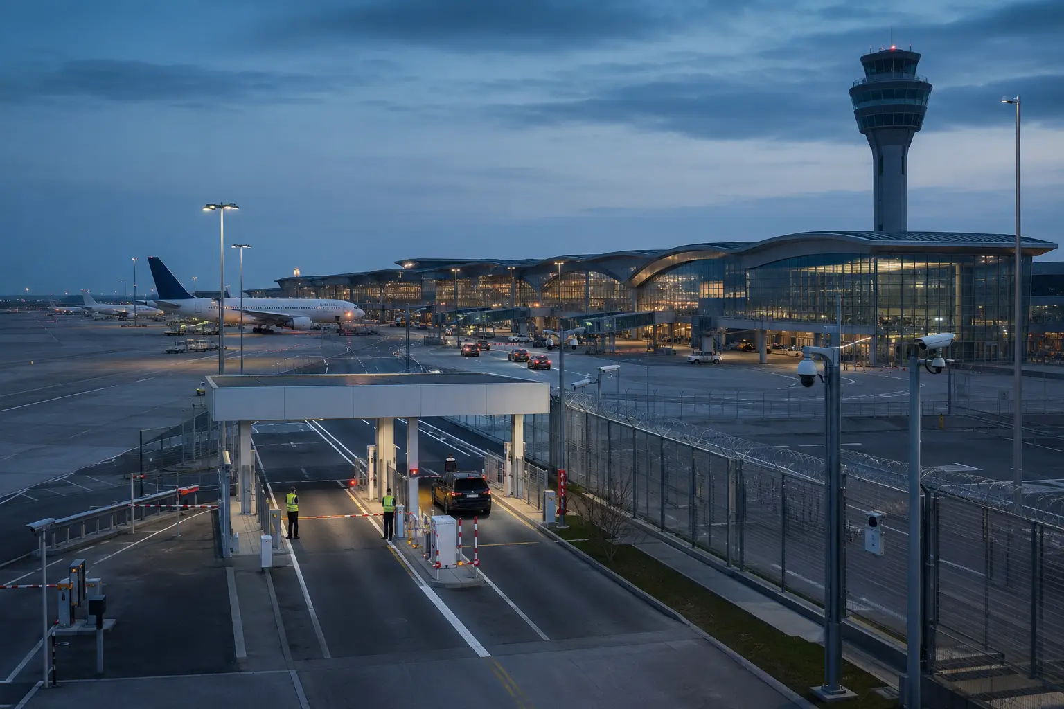
    Airports face one of the most demanding drone-detection environments. A small unmanned aircraft can create operational disruption around runways, approach paths and terminal areas even when there is no malicious intent. The challenge is not simply to detect an object in the sky, but to determine whether it represents a credible risk quickly enough for airport operators to act.

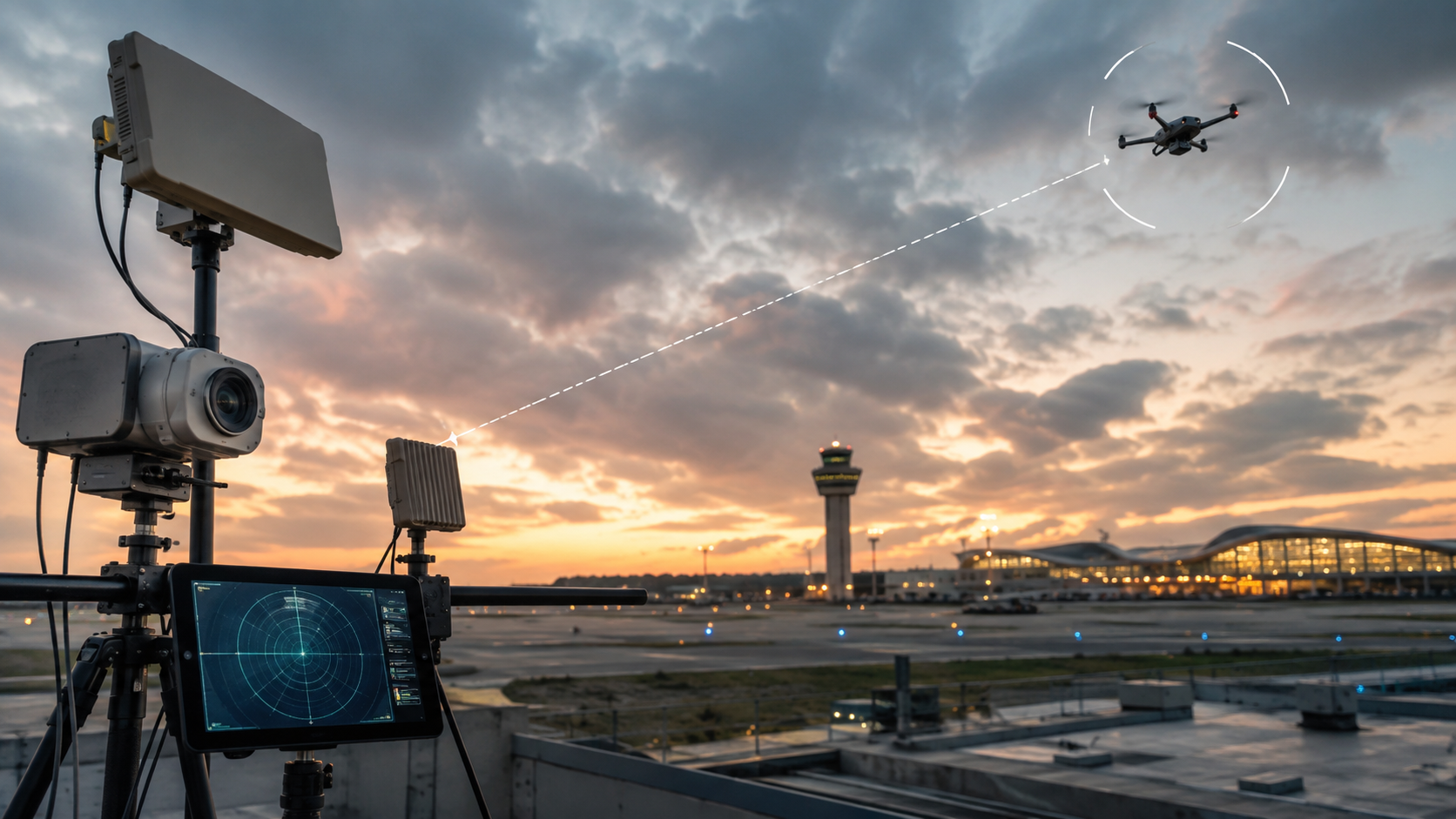
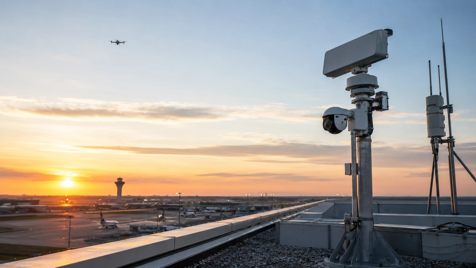
    Modern airport systems normally combine short- and medium-range radar, radio-frequency monitoring, electro-optical cameras and thermal imaging. Radar provides persistent coverage and track information. RF sensors can identify known command links or protocols. Cameras then provide visual confirmation and evidence. Because airports already contain extensive radar, radio and navigation infrastructure, careful frequency planning and site engineering are essential.

    Coverage design matters as much as sensor selection. A system should consider runway approaches, terminal airspace, parking aprons, perimeter zones and nearby public areas. Terrain, hangars, control towers and other structures can create blind spots. Multiple sensors positioned around the airport are often required to achieve useful low-altitude coverage.

    False alarms are another major concern. Birds, ground vehicles, construction equipment and conventional aircraft can all produce confusing signatures. Good systems use track behavior, micro-Doppler analysis and sensor fusion to improve classification. The objective is not to eliminate every false positive, but to reduce them to a level at which operators continue to trust the system.

    Drone detection must also integrate with airport operations. A verified track may need to be shared with the airport operations center, air traffic stakeholders, police or other authorized responders. Automated camera cueing and geofenced alert zones can help prioritize drones that are moving toward a runway or other sensitive area.

    Detection should be separated from mitigation. Active countermeasures may be restricted by aviation and communications law, and authority varies by country. For many airports, the most important capabilities are early detection, reliable tracking, evidence preservation and a clear operational response plan.

    The best airport drone-detection architecture is therefore layered, site-specific and tightly integrated with existing safety and security procedures. The goal is not simply to see drones. It is to create a dependable low-altitude airspace picture that supports fast, proportionate decisions.

  • Counter-UAS Detection: How Layered Airspace Awareness Works

    Counter-UAS Detection: How Layered Airspace Awareness Works

    Counter-UAS programs begin with awareness. Before any organization can respond to an unauthorized drone, it must first detect, classify and track the object with enough confidence to support a decision. That is why modern counter-UAS architecture is increasingly built around layered sensing rather than a single device.

    The Detection Layer

    The first layer is discovery. Security radar is frequently used because it can search a wide area continuously and provide position, speed and trajectory. RF sensors can add information about command links or known drone protocols. Acoustic arrays may contribute in short-range environments, while optical and thermal cameras provide visual confirmation.

    Each sensor has weaknesses. Radar can struggle with clutter and small non-drone objects. RF sensors may miss autonomous aircraft. Cameras need line of sight. Acoustic performance changes with wind and background noise. Layering reduces dependence on any one technology.

    Classification and Correlation

    Raw detections are not the same as actionable intelligence. A command platform must correlate data from different sensors and decide whether several observations represent the same target. Modern systems increasingly use machine learning, micro-Doppler analysis and track behavior to distinguish drones from birds, vehicles and other objects.

    The most useful output for an operator is not five separate alarms. It is one track with confidence, location, direction, speed and supporting evidence.

    Visual Verification

    After a radar or RF system detects a target, a pan-tilt camera can be automatically cued toward the coordinates. Daylight or thermal imagery can then help an operator understand what is in the air and whether the object is approaching a protected zone.

    This sensor-to-camera handoff is one of the most important features of an integrated counter-UAS system because it turns machine detection into human-verifiable situational awareness.

    Protected Zones and Rules

    Effective systems use geofenced zones instead of treating every drone equally. A drone several kilometers away may be informational. The same drone entering a runway approach, prison boundary or power-plant exclusion zone may trigger a higher-priority workflow.

    Rules can consider altitude, direction, speed, dwell time and proximity to sensitive assets. This allows operators to focus on behavior rather than simply counting airborne objects.

    Integration with Security Operations

    Counter-UAS should not exist as a separate island. Events can be integrated with VMS, access control, incident management, maps and command-center software. A drone approaching a substation, for example, can automatically bring nearby cameras onto screen and create an incident record.

    This unified workflow is particularly important at airports, critical infrastructure, ports, correctional facilities and large campuses where operators already manage many security systems.

    Detection Is Not Mitigation

    It is important to separate detection from active mitigation. Technologies that interfere with, take control of or physically defeat a drone are subject to significant legal and regulatory restrictions in many jurisdictions. A commercial security organization may be allowed to detect and document activity without being legally authorized to disrupt the aircraft.

    For that reason, system design should start with legal authority, response procedures and evidence requirements, not only hardware specifications.

    The Future of Airspace Awareness

    Counter-UAS detection is evolving into low-altitude airspace intelligence. Sensor fusion, edge AI, improved radar classification and automatic camera cueing are reducing false alarms and improving operator confidence. As drones become more autonomous, systems will increasingly need to detect physical behavior even when no conventional RF link is present.

    The strongest counter-UAS architecture therefore follows a layered principle: discover with multiple sensors, correlate the evidence, verify visually, prioritize by risk and integrate the result into the wider security operation.

  • Drone Detection Technologies: Radar, RF, Optical & Acoustic Explained

    Drone Detection Technologies: Radar, RF, Optical & Acoustic Explained

    Small unmanned aircraft have changed the way organizations think about perimeter security. A fence can define a property boundary, but it does not protect the airspace above it. Airports, power plants, ports, data centers, prisons, logistics hubs and other sensitive sites increasingly need systems that can discover, classify and track low-flying drones before an operator can make a decision.

    There is no single universal drone detector. Modern counter-UAS awareness systems normally combine several sensing methods because each technology sees a different part of the problem.

    Radar

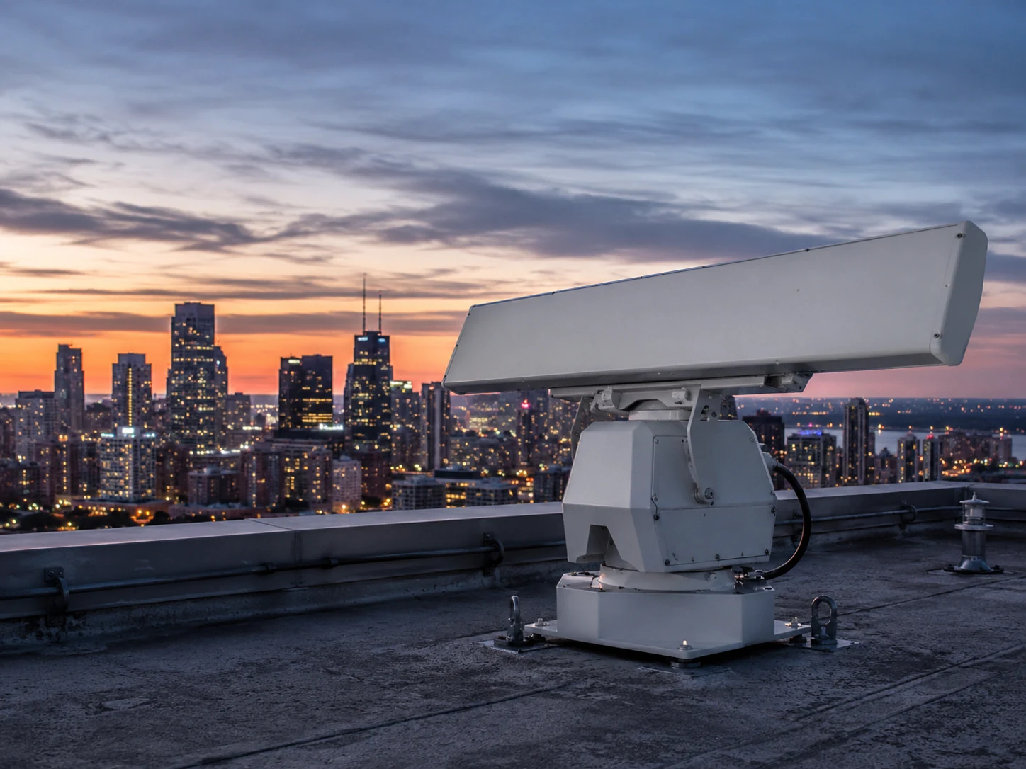
    Radar is one of the most important tools for persistent airspace surveillance. It transmits radio energy and analyzes reflections from objects in the monitored area. Security radars designed for small targets can detect and track drones at distances where conventional cameras may not yet provide useful imagery.

    Radar works day and night and does not depend on visible light. It can also provide range, direction, speed and track history. Its weakness is classification. Birds, clutter and moving machinery can create difficult signatures, so modern systems use micro-Doppler processing and machine-learning models to improve discrimination.

    RF Detection

    Radio-frequency detection looks for communication signals between a drone and its controller or for telemetry emitted by the aircraft. When a known protocol is detected, an RF system may identify the drone family, approximate its direction and sometimes locate both aircraft and controller.

    RF sensing can be highly effective because it may recognize a drone before the aircraft enters visual range. However, autonomous drones, unusual frequencies, encrypted links or pre-programmed flights may reduce detection opportunities. RF monitoring is therefore strongest when used as one layer rather than the only sensor.

    Optical and Thermal Cameras

    Visible-light and thermal cameras provide something radar and RF sensors cannot: visual confirmation. A tracking camera can automatically point toward a radar or RF cue and give the operator an image of the object.

    Day cameras can provide detailed evidence in good conditions. Thermal cameras remain useful at night and in many low-contrast situations because they detect heat rather than reflected visible light. Long-range optical systems often use motorized pan-tilt units and high-magnification lenses to maintain the target after detection.

    Their limitations are familiar: fog, heavy rain, obstacles, glare and extreme distance can reduce usable detail. A camera is usually most effective after another sensor has already told it where to look.

    Acoustic Detection

    Acoustic arrays listen for characteristic propeller and motor signatures. They are passive and do not emit radio energy, which can be useful in sensitive environments. Acoustic sensors can also help detect drones that do not transmit recognizable RF signals.

    The challenge is environmental noise. Wind, vehicles, machinery, aircraft and urban activity can mask or imitate signatures. Detection range is generally shorter than radar, so acoustic sensing is usually a supplementary layer.

    Why Sensor Fusion Matters

    The strongest architecture combines these technologies. Radar may discover an unknown target. RF analytics may identify the protocol. A camera may provide visual verification. Acoustic sensing may add confidence when the RF link is absent. The command platform then correlates the tracks into one operational picture.

    This approach reduces false alarms because the system is not asking a single sensor to make every decision. It also improves resilience: if one technology performs poorly because of weather, terrain or interference, another layer may still provide useful information.

    What Buyers Should Evaluate

    Detection range alone should never determine a procurement decision. Organizations should examine minimum target size, altitude coverage, update rate, clutter performance, false-alarm behavior, weather tolerance, cyber security, integration with VMS and command platforms, data retention, operator workload and legal constraints.

    The site survey is equally important. A sensor that performs well on a flat test field may behave differently beside buildings, cranes, hills, transmission lines or heavy RF activity.

    The Direction of the Market

    Drone detection is moving from isolated specialty equipment toward integrated airspace-awareness platforms. AI classification, edge processing, automated sensor cueing and unified command software are making it possible to treat the low-altitude air domain as another layer of physical security.

    For most critical sites, the practical lesson is simple: reliable drone awareness comes from layered sensing, not from a single detector. Radar, RF, optical, thermal and acoustic technologies are most powerful when they complement one another and present operators with one clear, verified track.

  • Counter-UAS Technology: A Complete Guide to Drone Detection and Protection

    Counter-UAS Technology: A Complete Guide to Drone Detection and Protection

    Consumer and commercial drones have become cheap, capable and easy to fly, and that combination has turned unauthorized small unmanned aircraft into a real risk for airports, stadiums, prisons, power plants and other sensitive sites. Counter-UAS (C-UAS) technology is the set of systems built to detect, track, identify and — where legally authorized — mitigate that threat. This guide explains how the major detection layers work, why no single sensor is enough on its own, and what to weigh before deploying a system.

    What counter-UAS technology actually does

    A counter-UAS deployment is usually described as a four-stage pipeline: detect that an unmanned aircraft is present, track its position and movement over time, identify what kind of drone it is and whether it represents a threat, and — only where the operator is legally authorized to act — mitigate it. Most commercial and critical-infrastructure deployments stop at detect/track/identify; active mitigation such as jamming or physical interception is heavily restricted and, in many jurisdictions, reserved for military, law enforcement or specifically authorized government operators.

    The four main detection layers

    Real-world counter-UAS systems combine more than one sensor type, because each has a different blind spot.

    Radio frequency (RF) detection passively listens for the control and video-link signals between a drone and its operator. It is often the first layer deployed because it is passive, relatively low cost, and can identify a drone’s make and model — and sometimes locate the operator — from its known RF signature. Its limitation is structural: a drone flying a pre-programmed autonomous route with no active control link, or one that is RF-silent by design, will not appear on an RF-only system.

    Radar actively illuminates the airspace and detects the reflection, so it finds drones regardless of whether they are transmitting. It can track multiple targets simultaneously, which matters for swarm scenarios, but small consumer drones have a much smaller radar cross-section than aircraft, so effective range for that target class is typically much shorter than a radar’s rated range for larger objects.

    Electro-optical and infrared (EO/IR) cameras provide visual or thermal confirmation of a detected track. In most architectures EO/IR is a “slew-to-cue” layer — pointed at a target after RF or radar has already found it — rather than a primary wide-area search sensor, because scanning a full sky visually is slow and unreliable compared with RF or radar detection.

    Acoustic sensors use microphone arrays to recognize the sound signature of rotors and propellers. They are passive and comparatively inexpensive, and can work in some non-line-of-sight and low-light conditions, but they are short-ranged and lose reliability near traffic, generators or crowd noise.

    Why layered, fused sensing is the standard

    No single sensor type covers every scenario, so credible counter-UAS architectures fuse two or more layers rather than relying on one “magic” detector: RF for early warning and identification, radar for RF-silent and autonomous drones, EO/IR for visual verification, and sometimes acoustic sensing as a supplementary layer in quiet environments. A command-and-control platform then fuses detections from each sensor into a single track — without fusion, the same drone can appear as several separate, unconnected alerts, which confuses operators and inflates the apparent scale of a threat.

    Mitigation: the heavily regulated final layer

    Once a drone is detected, tracked and identified as a genuine threat, mitigation options include RF jamming of the control link, GPS spoofing, high-power microwave devices, physical interceptors such as nets, and — at the most restrictive end — kinetic or directed-energy countermeasures. In most countries these active measures are tightly controlled by aviation and telecommunications law, because jamming or disabling an aircraft can also affect nearby legitimate air traffic and communications. Any organization evaluating counter-UAS technology should confirm what it is legally permitted to do at its specific site before assuming a detection system also gives it the right to act.

    Where counter-UAS technology is deployed

    Typical deployment sites include airports (where unauthorized drones can force runway closures), stadiums and large public events, correctional facilities (where drones have been used to smuggle contraband), critical infrastructure such as power plants and data centers, and government or military installations. The right sensor mix depends heavily on the site: an airport needs detection that will not generate false alarms from its own radar clutter and air traffic, while a rural substation may prioritize long-range RF and acoustic coverage over a wide, low-traffic perimeter.

    What to check before choosing a system

    Vendor-quoted detection ranges are typically measured in flat, dry, radio-quiet test conditions. Real-world range at a specific site is reduced by urban RF noise, terrain masking and antenna or mast height, so it is worth asking for performance figures at a comparable site profile rather than a datasheet maximum. It is also worth asking how a vendor maintains its RF and radar signature library, since new consumer drone models are released constantly and a detection library that is not actively updated will miss them. Finally, confirm the legal authorization required for any mitigation capability before including it in a procurement — detection and identification are usually far less regulated than active response.

    FAQ

    Is RF detection alone enough? No. RF detection misses autonomous or pre-programmed drones that are not actively transmitting to a controller, which is why radar or EO/IR coverage is normally paired with it.

    Can a business legally jam or shoot down a drone? In most jurisdictions, no — active mitigation is restricted to authorized government, military or law-enforcement operators. Commercial sites typically deploy detection, tracking and identification, then hand off to authorities for response.

    What is the single most important design decision? Matching the sensor mix to the site’s terrain, RF environment and threat profile, rather than deploying one sensor type everywhere. A layered, fused approach consistently outperforms any single technology.

    Verification note: This guide describes counter-UAS technology at a general, technology level. It does not cite specific vendor products, performance claims or deployment case studies, since those figures vary by manufacturer and require independent verification before publication.