
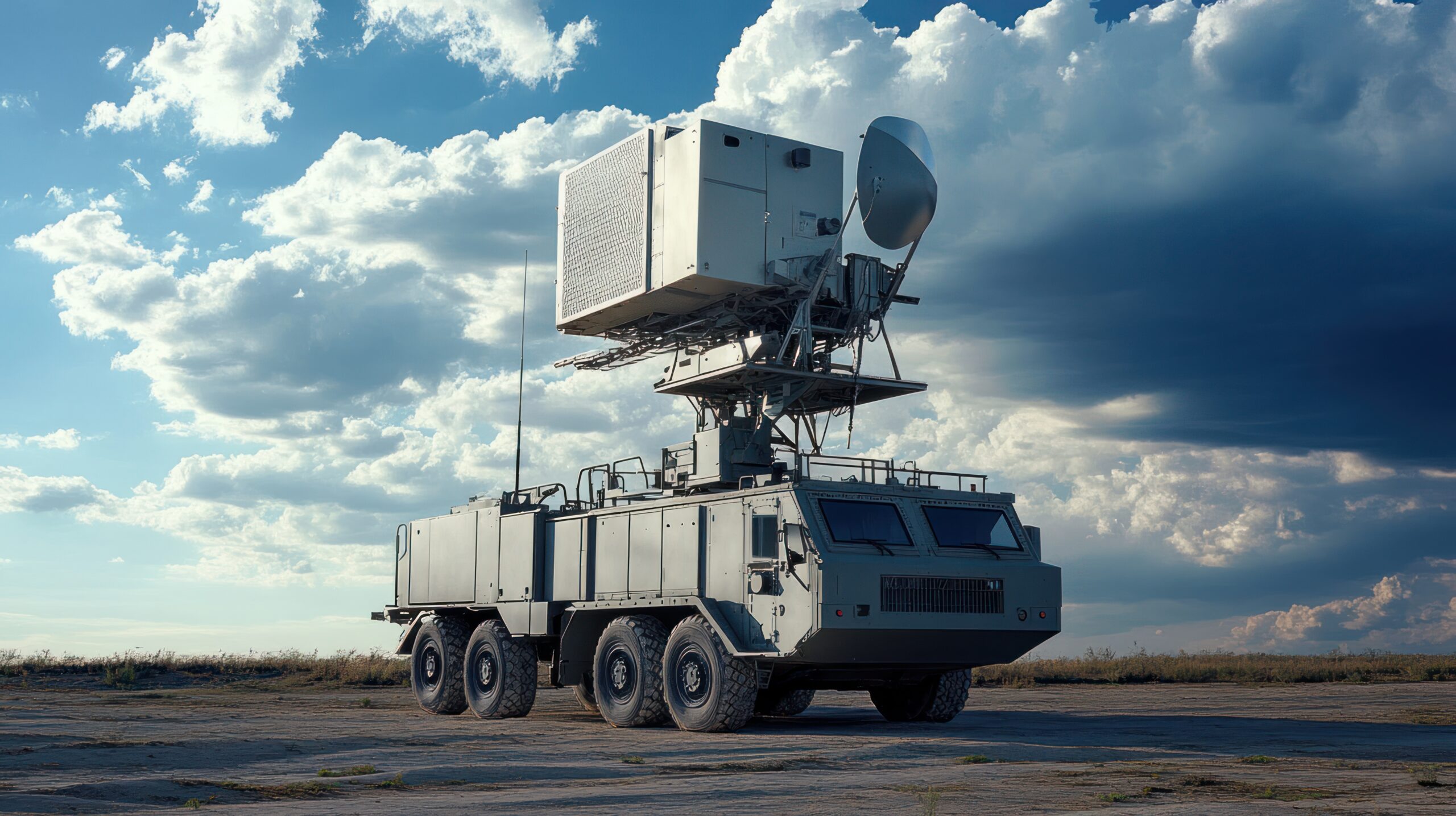
Perimeter radar learns or uses a map of stationary reflections so that moving targets can be separated from buildings, fences and terrain. Construction, vegetation and seasonal conditions can make that map inaccurate even when the sensor remains online.
Record the accepted coverage model
Preserve the radar location, height, orientation, software version, range sectors and exclusion zones. Keep a site drawing with important reflective objects and the approved detection boundary. Record the target classes, speeds and cross sections used during acceptance.
Document areas where geometry limits performance. A blind zone behind a building should be treated as a designed limitation with compensating coverage, not hidden by a broad performance claim.
Review clutter and environmental change
Compare the current scene with the accepted map. New metal structures, parked machinery, fencing, cranes and growing vegetation can change reflections. Rain, standing water and snow may also alter background behavior or target tracks.
Examine nuisance alarms by location and weather. A repeated cluster can identify a moving branch, drainage feature or mechanical installation. Physical remediation may be more reliable than reducing sensitivity across an entire sector.
Run controlled track tests
Move representative people and vehicles through near, middle and far coverage at different directions and speeds. Cross sector boundaries and approach along radial and tangential paths. Record detection time, track continuity, classification and location error.
Include multiple targets where required. Confirm that tracks do not merge or swap identities near clutter and that exclusion zones do not create an untested corridor.
Verify handover and alarm routing
Check camera cueing, preset accuracy and control-room presentation for each test route. Measure the time from radar detection to usable visual context. Confirm that map coordinates, time synchronization and site orientation remain aligned across systems.
Radar tests should integrate with broader Intrusion & Perimeter Security assurance rather than ending at the sensor console.
Govern remapping
Back up the current configuration before generating or editing a clutter map. Compare detection performance before and after the change and retain a rollback copy. Recommission after construction, sensor relocation, major vegetation work, software changes or repeated weather-related alarms. The final record should state both nuisance-alarm performance and approved target detection results.
Review performance with operations
Include control-room operators in the review because repeated low-value tracks can create workload even when technical detection remains within specification. Compare acknowledgment, classification and dispatch outcomes with the sensor record.
Maintain a zone-by-zone register of known limitations, compensating cameras and seasonal settings. If remapping improves one route but weakens another, the change has not passed acceptance. Require a witnessed retest and preserve raw tracks or screen recordings for future comparison.
Review the accepted map with maintenance teams and record who owns each physical obstruction or recurring environmental condition.
Leave a Reply